
Western Arthurs Range - Alpha Moraine to Kappa Moraine
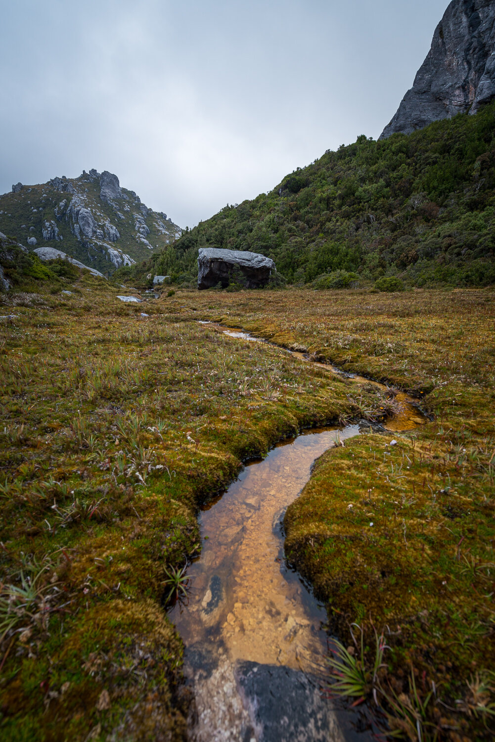
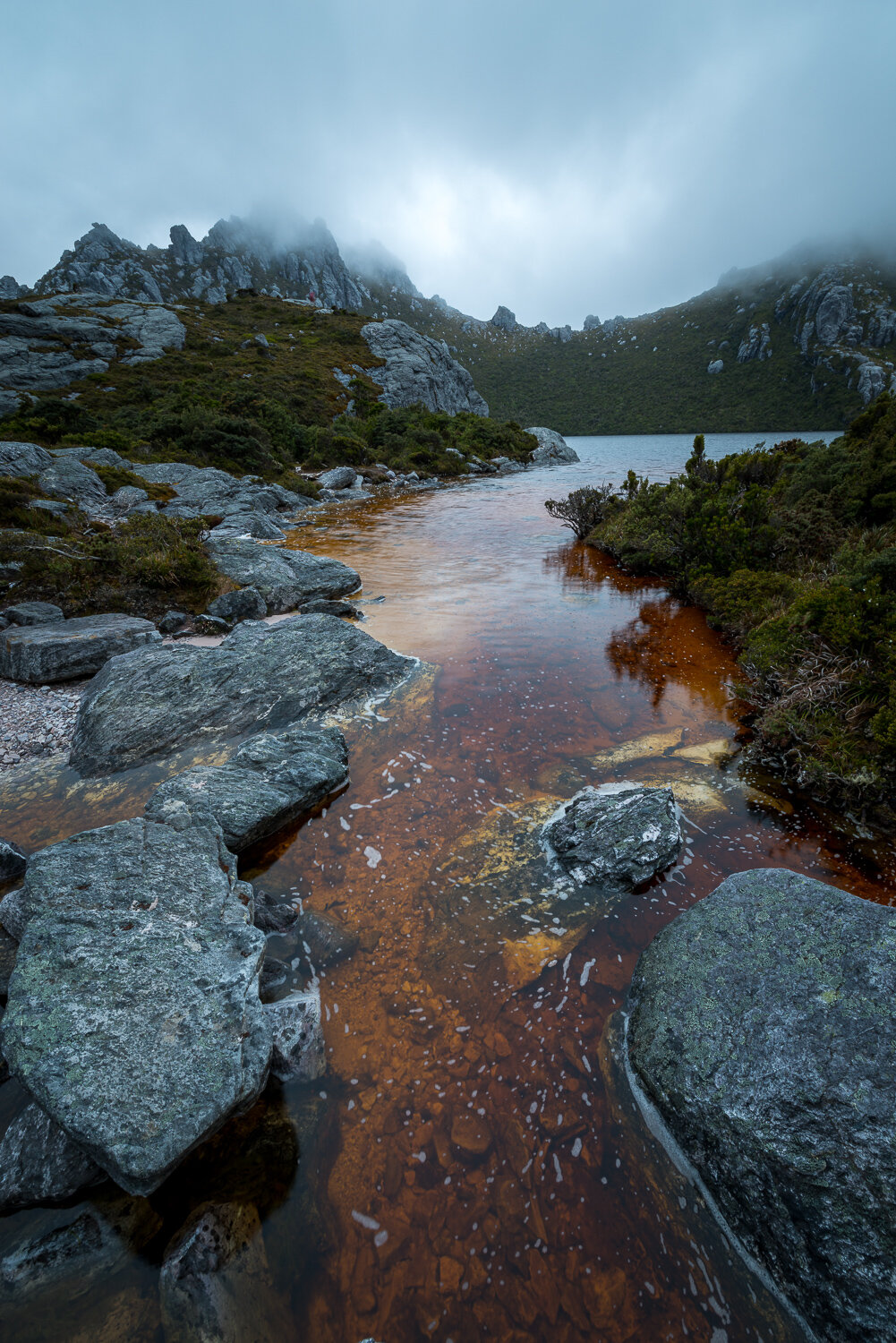
The Arthur Range lies in the South West National Park, Tasmania. One of my favourite regions in the state, it is remote and inaccessible containing unspoilt scenery, rugged peaks, wild rivers, unique flora and fauna, and a long and rugged coastline. Parts of the wilderness are more than 50 km from the nearest road, so the only access to the area is by foot, air or sea.
The Arthur Range range is broken into two main sections, the Western Arthurs and the Eastern Arthurs and lies in the traditional country of the South-West Nation of the Aboriginal Tasmanian people, the traditional name is Loinnekumme (LOINNE.KUM.ME). The range was renamed by George Robinson for Governor George Arthur after Robinson climbed Mount Frederick (now Mount Hayes) in March 1830.
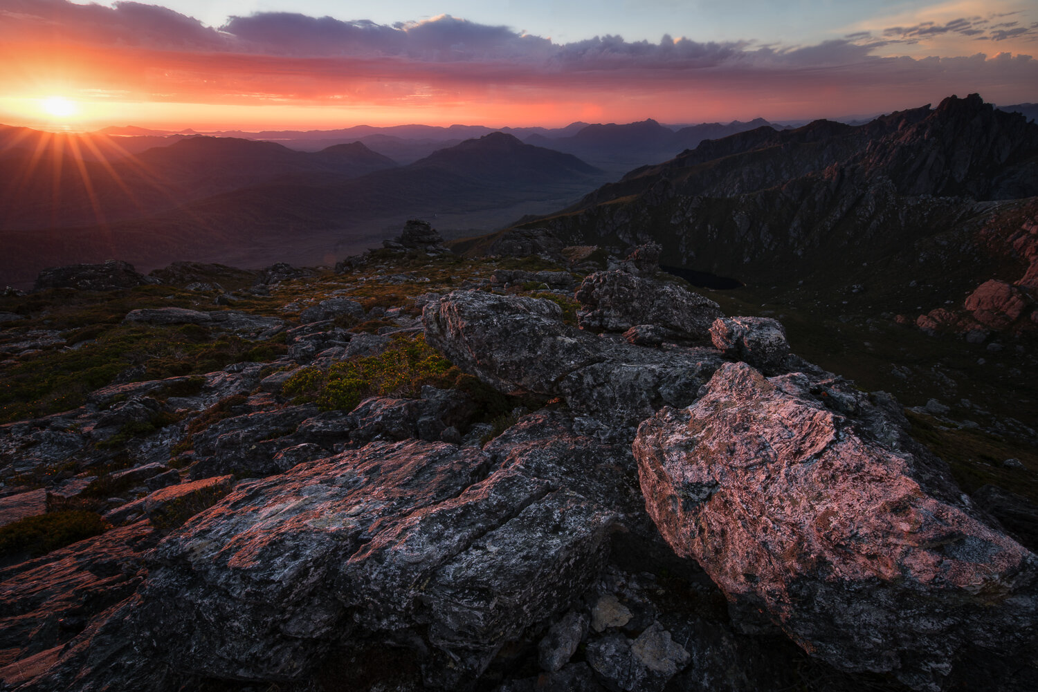
The climate in the Arthur Range is extremely unstable – weather predictions are virtually useless here, as it is very common to have sun, heavy rain, cloud, strong winds, even snow all in the same day. The top of the range is classed as Sub-Alpine or Alpine. During winter these mountains are snow-capped. Snow has been experienced every season, with regular snowfalls during summer, though many of these snowfalls don't settle. The climate is mostly decided by the wind. The temperature can change very quickly with warm air from Northern Tasmania, or very cold air from the Southern Ocean and Antarctica.
My fascination with the area comes from Peter Dombrovski’s famous image of Lake Oberon. This was the image that first inspired me to start exploring Tasmania’s wild places, I remember seeing it for the first time and asking someone where it was, to learn it exiseted right in my own back yard blew mud mind. Since then I have been up to the range 3 times and can’t wait to go back. I’ve only done A-K but plan on doing the whole traverse when the next opportunity presents itself.
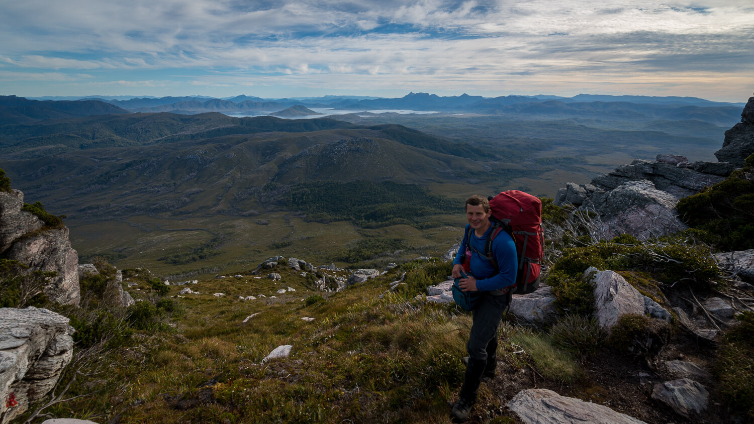
If you decide to visit the range make sure you are well prepared for any weather conditions, and have enough food for one or two extra days. During 1 trip I had a mild case of hypothermia and if it wasn’t for the strength, conditioning and good common sense of my walking party, I would have been in quite a bit of trouble. It’s a dangerous walk, the first day is gruelling and the hike up Moraine A is a slog. Picture 6hrs walking through the scrub and mud with a heavy pack (25-30kg) before you make it to Moraine A, then a 2-3hrs slow uphill burn that will dehydrate the hell out of you before another 2hr ridge line walk to the first campsite. Im fairly fit and healthy but this walk is challenging and it will hurt, so take care, don’t get caught up by the beauty of the region and rush out there, do your homework, train and prepare.
Always carry an EPIRB.